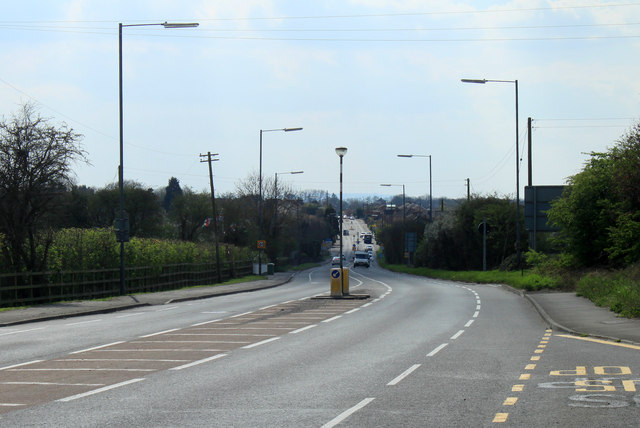
2012 : A432 entering Coalpit Heath from the north east
Introduction
The photograph on this page of 2012 : A432 entering Coalpit Heath from the north east by Maurice Pullin as part of the Geograph project.
The Geograph project started in 2005 with the aim of publishing, organising and preserving representative images for every square kilometre of Great Britain, Ireland and the Isle of Man.
There are currently over 7.5m images from over 14,400 individuals and you can help contribute to the project by visiting https://www.geograph.org.uk

Image: © Maurice Pullin Taken: 2 Apr 2012
Due to recent development it is now difficult to tell where Coalpit Heath begins and Frampton Cotterell to the north west ends. "[Coalpit Heath] was founded as a coal mining settlement. One pit was on Frog Lane at ST 685 815 (to the north east of the village). Other mines operated between Mays Hill and Nibley to the north and at Ram Hill and Henfield to the south. These were served by a railway line, closed some decades ago and no longer visible on the ground. In 1949 the coal ran out, and since then it has become a sought after place to live, with fields and easy accommodation." The above was copied from: http://en.wikipedia.org/wiki/Coalpit_Heath

