Farmland east of Whiteside Farm
Introduction
The photograph on this page of Farmland east of Whiteside Farm by Christine Johnstone as part of the Geograph project.
The Geograph project started in 2005 with the aim of publishing, organising and preserving representative images for every square kilometre of Great Britain, Ireland and the Isle of Man.

There are currently over 7.5m images from over 14,400 individuals and you can help contribute to the project by visiting https://www.geograph.org.uk
Farmland east of Whiteside Farm
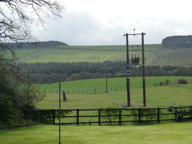
Image: © Christine Johnstone Taken: 14 Apr 2012
Animal feeders have been fitted round the base of the twin telegraph poles.
Images are licensed for reuse under creativecommons.org/licenses/by-sa/2.0
Image Location
Latitude
54.833624
Longitude
-1.686587