Highfield, church centre
Introduction
The photograph on this page of Highfield, church centre by Mike Faherty as part of the Geograph project.
The Geograph project started in 2005 with the aim of publishing, organising and preserving representative images for every square kilometre of Great Britain, Ireland and the Isle of Man.

There are currently over 7.5m images from over 14,400 individuals and you can help contribute to the project by visiting https://www.geograph.org.uk
Highfield, church centre
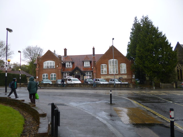
Image: © Mike Faherty Taken: 19 Apr 2012
On Highfield Lane, next to the parish church; a stone plaque bears the name "Church Institute", and the foundation stone is dated 1907. http://www.highfield.org.uk/church/index.php?id=27
Images are licensed for reuse under creativecommons.org/licenses/by-sa/2.0
Image Location


Leaflet Map data © OpenStreetMap
Latitude
50.929919
Longitude
-1.395911