Farmland near Claverley, Shropshire
Introduction
The photograph on this page of Farmland near Claverley, Shropshire by Roger D Kidd as part of the Geograph project.
The Geograph project started in 2005 with the aim of publishing, organising and preserving representative images for every square kilometre of Great Britain, Ireland and the Isle of Man.

There are currently over 7.5m images from over 14,400 individuals and you can help contribute to the project by visiting https://www.geograph.org.uk
Farmland near Claverley, Shropshire
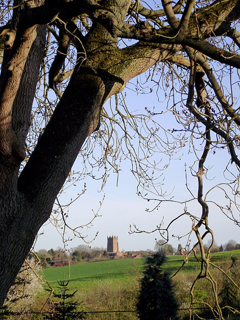
Image: © Roger D Kidd Taken: 25 Mar 2012
Seen from Digbeth Lane at Hopstone, All Saints Church tower dominates the skyline over the village of Claverley.
Images are licensed for reuse under creativecommons.org/licenses/by-sa/2.0
Image Location
Latitude
52.543602
Longitude
-2.315818