Frognal & Church Row signs
Introduction
The photograph on this page of Frognal & Church Row signs by Oast House Archive as part of the Geograph project.
The Geograph project started in 2005 with the aim of publishing, organising and preserving representative images for every square kilometre of Great Britain, Ireland and the Isle of Man.

There are currently over 7.5m images from over 14,400 individuals and you can help contribute to the project by visiting https://www.geograph.org.uk
Frognal & Church Row signs
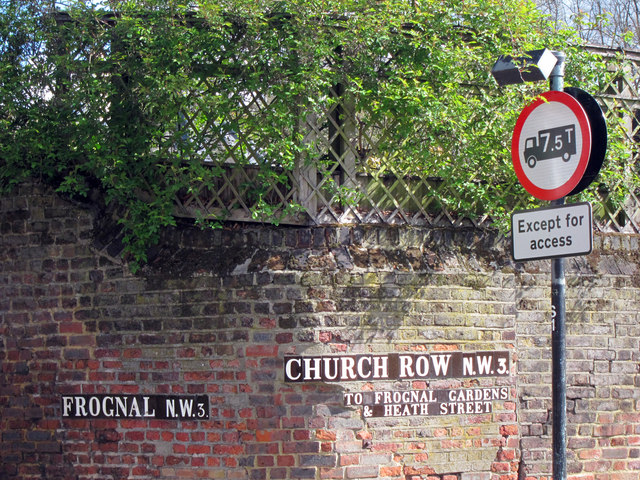
Image: © Oast House Archive Taken: 15 Apr 2012
Road name signs on a wall on a corner the junction of the two roads.
Images are licensed for reuse under creativecommons.org/licenses/by-sa/2.0
Image Location
Latitude
51.555207
Longitude
-0.182944