Undulating ground near Thornhill (Perthshire)
Introduction
The photograph on this page of Undulating ground near Thornhill (Perthshire) by Richard Webb as part of the Geograph project.
The Geograph project started in 2005 with the aim of publishing, organising and preserving representative images for every square kilometre of Great Britain, Ireland and the Isle of Man.

There are currently over 7.5m images from over 14,400 individuals and you can help contribute to the project by visiting https://www.geograph.org.uk
Undulating ground near Thornhill (Perthshire)
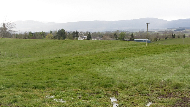
Image: © Richard Webb Taken: 17 Apr 2012
North of the flat carse lands, the ground is undulating and more often found under woodland or pasture. The line of hills in the background marks the Highland Boundary Fault.
Images are licensed for reuse under creativecommons.org/licenses/by-sa/2.0
Image Location
Latitude
56.169018
Longitude
-4.116358