Drought conditions in Kent
Introduction
The photograph on this page of Drought conditions in Kent by Stephen Craven as part of the Geograph project.
The Geograph project started in 2005 with the aim of publishing, organising and preserving representative images for every square kilometre of Great Britain, Ireland and the Isle of Man.

There are currently over 7.5m images from over 14,400 individuals and you can help contribute to the project by visiting https://www.geograph.org.uk
Drought conditions in Kent
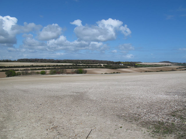
Image: © Stephen Craven Taken: 15 Apr 2012
This view of the chalky downland above Dover shows how dry the land was even by April in the drought year of 2012.
Images are licensed for reuse under creativecommons.org/licenses/by-sa/2.0
Image Location
Latitude
51.159371
Longitude
1.375364