Kingsdown Road - end of the village
Introduction
The photograph on this page of Kingsdown Road - end of the village by Stephen Craven as part of the Geograph project.
The Geograph project started in 2005 with the aim of publishing, organising and preserving representative images for every square kilometre of Great Britain, Ireland and the Isle of Man.

There are currently over 7.5m images from over 14,400 individuals and you can help contribute to the project by visiting https://www.geograph.org.uk
Kingsdown Road - end of the village
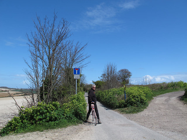
Image: © Stephen Craven Taken: 15 Apr 2012
Kingsdown Road continues beyond this point (the 81m spot height at the northern end of St Margaret-at-Cliffe) but the surface becomes rougher and there is a sign warning it is a dead-end except for cycles (due to a barrier further on Image).
Images are licensed for reuse under creativecommons.org/licenses/by-sa/2.0
Image Location


Leaflet Map data © OpenStreetMap
Latitude
51.157935
Longitude
1.375259