Rougham Industrial Estate
Introduction
The photograph on this page of Rougham Industrial Estate by Bob Jones as part of the Geograph project.
The Geograph project started in 2005 with the aim of publishing, organising and preserving representative images for every square kilometre of Great Britain, Ireland and the Isle of Man.

There are currently over 7.5m images from over 14,400 individuals and you can help contribute to the project by visiting https://www.geograph.org.uk
Rougham Industrial Estate
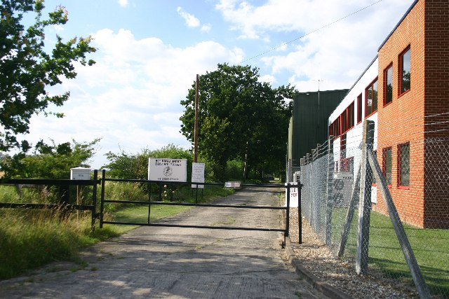
Image: © Bob Jones Taken: 20 Jul 2005
The industrial estate is situated on the former Rougham Airfield, home in World War II of the US Airforce 94th Bomb Group. The road in the photo leads to the old control tower.
Images are licensed for reuse under creativecommons.org/licenses/by-sa/2.0
Image Location


Leaflet Map data © OpenStreetMap
Latitude
52.240814
Longitude
0.771259