Farmland at Gossington
Introduction
The photograph on this page of Farmland at Gossington by Philip Halling as part of the Geograph project.
The Geograph project started in 2005 with the aim of publishing, organising and preserving representative images for every square kilometre of Great Britain, Ireland and the Isle of Man.

There are currently over 7.5m images from over 14,400 individuals and you can help contribute to the project by visiting https://www.geograph.org.uk
Farmland at Gossington
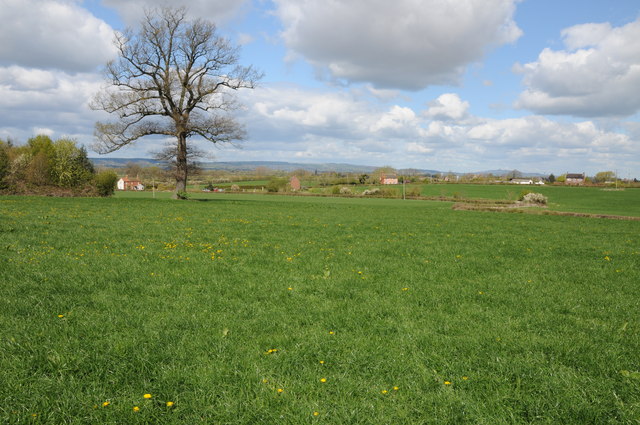
Image: © Philip Halling Taken: 15 Apr 2012
View across farmland at Gossington near Slimbridge, the high ground of the Forest of Dean can be seen on the horizon, lying to the west of the River Severn. May Hill can also be seen in the distance to the right.
Images are licensed for reuse under creativecommons.org/licenses/by-sa/2.0
Image Location
Latitude
51.718699
Longitude
-2.38645