Farm building beside farm track
Introduction
The photograph on this page of Farm building beside farm track by John Haynes as part of the Geograph project.
The Geograph project started in 2005 with the aim of publishing, organising and preserving representative images for every square kilometre of Great Britain, Ireland and the Isle of Man.

There are currently over 7.5m images from over 14,400 individuals and you can help contribute to the project by visiting https://www.geograph.org.uk
Farm building beside farm track
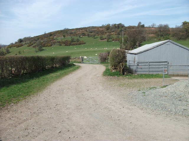
Image: © John Haynes Taken: 9 Apr 2011
The track going left goes to Pant Farm, to the right it goes to Cefncoed.
Images are licensed for reuse under creativecommons.org/licenses/by-sa/2.0
Image Location
Latitude
52.918647
Longitude
-3.176243