Stones beside the Llwybr Ceiriog
Introduction
The photograph on this page of Stones beside the Llwybr Ceiriog by John Haynes as part of the Geograph project.
The Geograph project started in 2005 with the aim of publishing, organising and preserving representative images for every square kilometre of Great Britain, Ireland and the Isle of Man.

There are currently over 7.5m images from over 14,400 individuals and you can help contribute to the project by visiting https://www.geograph.org.uk
Stones beside the Llwybr Ceiriog
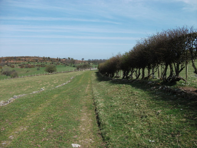
Image: © John Haynes Taken: 9 Apr 2011
These stones could be the remnant of a stone dyke but they are just at random and inside the cultivated area so I suspect they are the result of stone clearance during grassland improvement and for some reason they have not been uplifted. The footpath to the right by the hedge has been left uncultivated and the last furrow edge still remains from the ploughing. Image] Image]
Images are licensed for reuse under creativecommons.org/licenses/by-sa/2.0
Image Location
Latitude
52.916436
Longitude
-3.181686