Anderson's Hill near Newtownards
Introduction
The photograph on this page of Anderson's Hill near Newtownards by Albert Bridge as part of the Geograph project.
The Geograph project started in 2005 with the aim of publishing, organising and preserving representative images for every square kilometre of Great Britain, Ireland and the Isle of Man.

There are currently over 7.5m images from over 14,400 individuals and you can help contribute to the project by visiting https://www.geograph.org.uk
Anderson's Hill near Newtownards
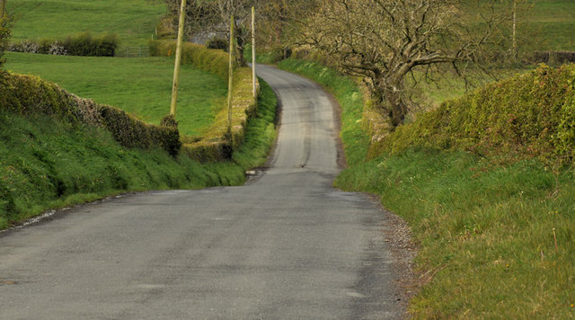
Image: © Albert Bridge Taken: 18 Apr 2012
Anderson’s Hill is a minor road running from the Crawfordsburn Road Image to the Ballybarnes Road Image This view is towards the latter from the crossroads with the Tullynagardy Road Image Most of the surrounding area is quality farmland with some of it (to the best of my knowledge) forming part of the Clandeboye estate.
Images are licensed for reuse under creativecommons.org/licenses/by-sa/2.0
Image Location
Latitude
54.616987
Longitude
-5.724242