The Bowling Green
Introduction
The photograph on this page of The Bowling Green by John M as part of the Geograph project.
The Geograph project started in 2005 with the aim of publishing, organising and preserving representative images for every square kilometre of Great Britain, Ireland and the Isle of Man.

There are currently over 7.5m images from over 14,400 individuals and you can help contribute to the project by visiting https://www.geograph.org.uk
The Bowling Green
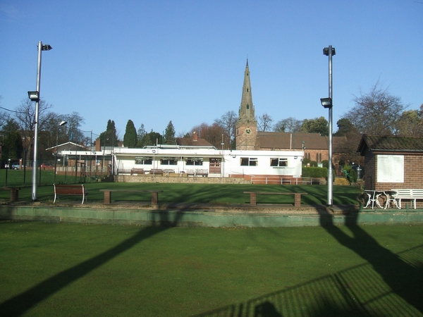
Image: © John M Taken: 2 Dec 2006
The bowling green and cricket club take up all of the village green in the centre of Wombourne. St Benedicts Church is in the background.
Images are licensed for reuse under creativecommons.org/licenses/by-sa/2.0
Image Location
Latitude
52.53472
Longitude
-2.184237