High House Farm, near Henley
Introduction
The photograph on this page of High House Farm, near Henley by Bob Jones as part of the Geograph project.
The Geograph project started in 2005 with the aim of publishing, organising and preserving representative images for every square kilometre of Great Britain, Ireland and the Isle of Man.

There are currently over 7.5m images from over 14,400 individuals and you can help contribute to the project by visiting https://www.geograph.org.uk
High House Farm, near Henley
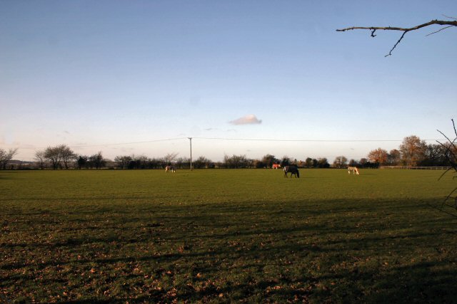
Image: © Bob Jones Taken: 6 Dec 2006
Horses graze in a number of fields belonging to High House Farm. A footpath to Claydon runs alongside this field.
Images are licensed for reuse under creativecommons.org/licenses/by-sa/2.0
Image Location
Latitude
52.107573
Longitude
1.132369