Prospect Farm, Menwith Hill
Introduction
The photograph on this page of Prospect Farm, Menwith Hill by Chris Heaton as part of the Geograph project.
The Geograph project started in 2005 with the aim of publishing, organising and preserving representative images for every square kilometre of Great Britain, Ireland and the Isle of Man.

There are currently over 7.5m images from over 14,400 individuals and you can help contribute to the project by visiting https://www.geograph.org.uk
Prospect Farm, Menwith Hill
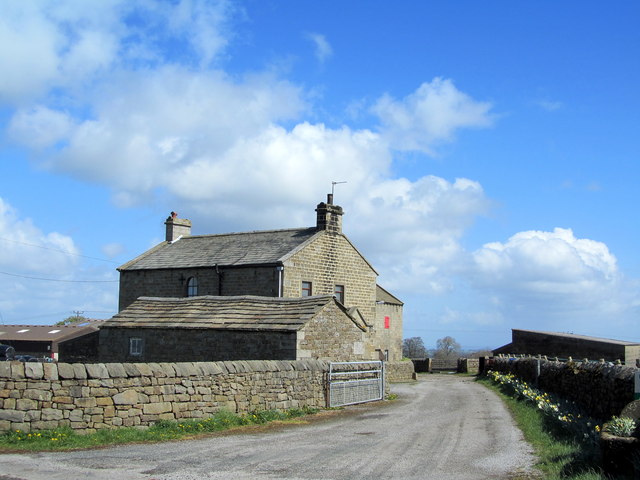
Image: © Chris Heaton Taken: 17 Apr 2012
Farming operation by the B6451 Otley/Summerbridge Road between Darley and the Menwith Hill "Golfballs."
Images are licensed for reuse under creativecommons.org/licenses/by-sa/2.0
Image Location
Latitude
54.019702
Longitude
-1.700821