Lincoln, Hall Drive, bridge
Introduction
The photograph on this page of Lincoln, Hall Drive, bridge by Brian Westlake as part of the Geograph project.
The Geograph project started in 2005 with the aim of publishing, organising and preserving representative images for every square kilometre of Great Britain, Ireland and the Isle of Man.

There are currently over 7.5m images from over 14,400 individuals and you can help contribute to the project by visiting https://www.geograph.org.uk
Lincoln, Hall Drive, bridge
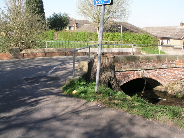
Image: © Brian Westlake Taken: 28 Mar 2012
The bridge carries a cut bench mark on the left-hand end of the far parapet. See http://www.geograph.org.uk/photo/2903607 for a close-up and http://www.bench-marks.org.uk/bm42597 for details.
Images are licensed for reuse under creativecommons.org/licenses/by-sa/2.0
Image Location
Latitude
53.212818
Longitude
-0.556262