2012 : Upton Lane looking toward Upton Farm and Dundry
Introduction
The photograph on this page of 2012 : Upton Lane looking toward Upton Farm and Dundry by Maurice Pullin as part of the Geograph project.
The Geograph project started in 2005 with the aim of publishing, organising and preserving representative images for every square kilometre of Great Britain, Ireland and the Isle of Man.

There are currently over 7.5m images from over 14,400 individuals and you can help contribute to the project by visiting https://www.geograph.org.uk
2012 : Upton Lane looking toward Upton Farm and Dundry
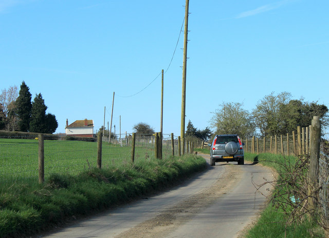
Image: © Maurice Pullin Taken: 25 Mar 2012
Two hundred and seventy degrees of marvellous views and he has to take a picture of a road.
Images are licensed for reuse under creativecommons.org/licenses/by-sa/2.0
Image Location
Latitude
51.386472
Longitude
-2.61616