Little Abington: Church Lane
Introduction
The photograph on this page of Little Abington: Church Lane by John Sutton as part of the Geograph project.
The Geograph project started in 2005 with the aim of publishing, organising and preserving representative images for every square kilometre of Great Britain, Ireland and the Isle of Man.

There are currently over 7.5m images from over 14,400 individuals and you can help contribute to the project by visiting https://www.geograph.org.uk
Little Abington: Church Lane
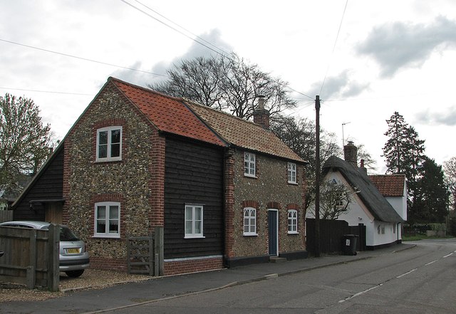
Image: © John Sutton Taken: 16 Apr 2012
Looking towards the junction with High Street, showing a good range of characteristic local building materials: flint, brick, timber, weatherboarding, plaster, thatch and pantiles.
Images are licensed for reuse under creativecommons.org/licenses/by-sa/2.0
Image Location
Latitude
52.119865
Longitude
0.237692