All Saints Road, Gloucester
Introduction
The photograph on this page of All Saints Road, Gloucester by Jaggery as part of the Geograph project.
The Geograph project started in 2005 with the aim of publishing, organising and preserving representative images for every square kilometre of Great Britain, Ireland and the Isle of Man.

There are currently over 7.5m images from over 14,400 individuals and you can help contribute to the project by visiting https://www.geograph.org.uk
All Saints Road, Gloucester
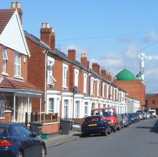
Image: © Jaggery Taken: 13 Apr 2012
Viewed from near the corner of Pembroke Street looking towards Jama Al-Karim Mosque. http://www.geograph.org.uk/photo/2902309
Images are licensed for reuse under creativecommons.org/licenses/by-sa/2.0
Image Location
Latitude
51.860343
Longitude
-2.238097