Andrew's Hill Dulverton
Introduction
The photograph on this page of Andrew's Hill Dulverton by John Courtney as part of the Geograph project.
The Geograph project started in 2005 with the aim of publishing, organising and preserving representative images for every square kilometre of Great Britain, Ireland and the Isle of Man.

There are currently over 7.5m images from over 14,400 individuals and you can help contribute to the project by visiting https://www.geograph.org.uk
Andrew's Hill Dulverton
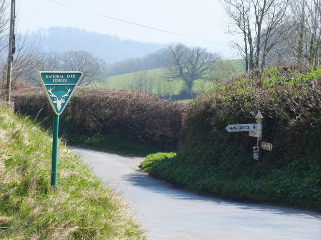
Image: © John Courtney Taken: 27 Mar 2012
The junction of Andrew's Hill which leads up from Dulverton and the narrow and steep lane up to Hinam Cross and on to Hawkridge. This is the boundary of Exmoor National Park.
Images are licensed for reuse under creativecommons.org/licenses/by-sa/2.0
Image Location


Leaflet Map data © OpenStreetMap
Latitude
51.035741
Longitude
-3.558083