Llŷn Coastal Path
Introduction
The photograph on this page of Llŷn Coastal Path by Bill Boaden as part of the Geograph project.
The Geograph project started in 2005 with the aim of publishing, organising and preserving representative images for every square kilometre of Great Britain, Ireland and the Isle of Man.

There are currently over 7.5m images from over 14,400 individuals and you can help contribute to the project by visiting https://www.geograph.org.uk
Llŷn Coastal Path
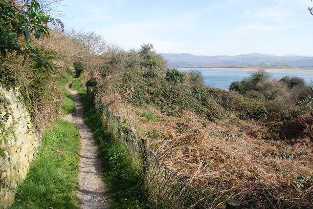
Image: © Bill Boaden Taken: 30 Mar 2012
Between Borth-y-Gest and Morfa Bychan. There is a glimpse of the Dwyryd Estuary.
Images are licensed for reuse under creativecommons.org/licenses/by-sa/2.0
Image Location
Latitude
52.911929
Longitude
-4.145262