Stone direction marker and Victorian cottages
Introduction
The photograph on this page of Stone direction marker and Victorian cottages by David Smith as part of the Geograph project.
The Geograph project started in 2005 with the aim of publishing, organising and preserving representative images for every square kilometre of Great Britain, Ireland and the Isle of Man.

There are currently over 7.5m images from over 14,400 individuals and you can help contribute to the project by visiting https://www.geograph.org.uk
Stone direction marker and Victorian cottages
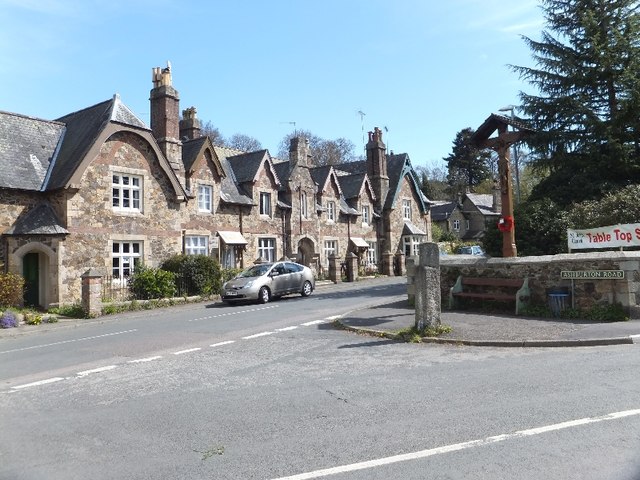
Image: © David Smith Taken: 16 Apr 2012
The direction marker at the road junction is now illegible, but formerly showed the direction of each road (Newton Abbot and Ashburton)
Images are licensed for reuse under creativecommons.org/licenses/by-sa/2.0
Image Location
Latitude
50.588102
Longitude
-3.678029