Brimley Lane
Introduction
The photograph on this page of Brimley Lane by David Smith as part of the Geograph project.
The Geograph project started in 2005 with the aim of publishing, organising and preserving representative images for every square kilometre of Great Britain, Ireland and the Isle of Man.

There are currently over 7.5m images from over 14,400 individuals and you can help contribute to the project by visiting https://www.geograph.org.uk
Brimley Lane
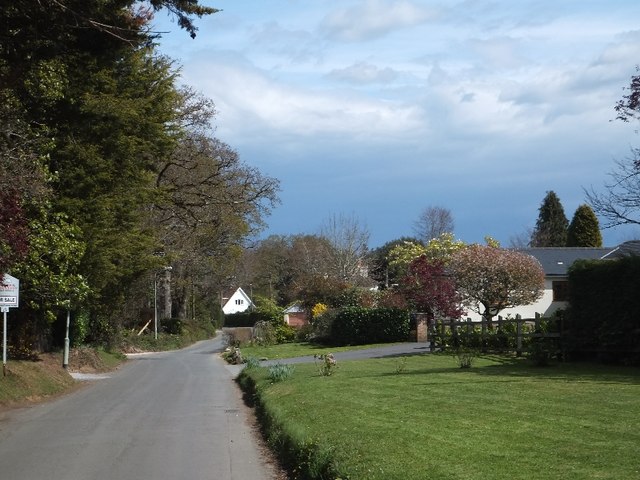
Image: © David Smith Taken: 16 Apr 2012
The western edge of Bovey Tracey; modern housing is mixed with a few more substantial Victorian houses
Images are licensed for reuse under creativecommons.org/licenses/by-sa/2.0
Image Location
Latitude
50.582569
Longitude
-3.687438