Bridge carrying the Porthmadog bypass
Introduction
The photograph on this page of Bridge carrying the Porthmadog bypass by Bill Boaden as part of the Geograph project.
The Geograph project started in 2005 with the aim of publishing, organising and preserving representative images for every square kilometre of Great Britain, Ireland and the Isle of Man.

There are currently over 7.5m images from over 14,400 individuals and you can help contribute to the project by visiting https://www.geograph.org.uk
Bridge carrying the Porthmadog bypass
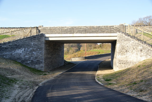
Image: © Bill Boaden Taken: 29 Mar 2012
The new road opened only a few months ago, and has only got as far as a dotted line on many maps.
Images are licensed for reuse under creativecommons.org/licenses/by-sa/2.0
Image Location
Latitude
52.927922
Longitude
-4.085349