Carshalton: Stanley Park Road
Introduction
The photograph on this page of Carshalton: Stanley Park Road by Dr Neil Clifton as part of the Geograph project.
The Geograph project started in 2005 with the aim of publishing, organising and preserving representative images for every square kilometre of Great Britain, Ireland and the Isle of Man.

There are currently over 7.5m images from over 14,400 individuals and you can help contribute to the project by visiting https://www.geograph.org.uk
Carshalton: Stanley Park Road
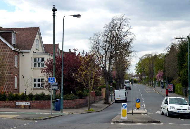
Image: © Dr Neil Clifton Taken: 16 Apr 2012
Looking west at the junction with Boundary Road. One of the sewer vent pipes is seen, but this one has been mutilated, losing both its crown and its arrow, leaving only the vent globe.
Images are licensed for reuse under creativecommons.org/licenses/by-sa/2.0
Image Location
Latitude
51.355958
Longitude
-0.155794