Track to Tipleyhill Cross in the valley of the Liverton Brook
Introduction
The photograph on this page of Track to Tipleyhill Cross in the valley of the Liverton Brook by David Smith as part of the Geograph project.
The Geograph project started in 2005 with the aim of publishing, organising and preserving representative images for every square kilometre of Great Britain, Ireland and the Isle of Man.

There are currently over 7.5m images from over 14,400 individuals and you can help contribute to the project by visiting https://www.geograph.org.uk
Track to Tipleyhill Cross in the valley of the Liverton Brook
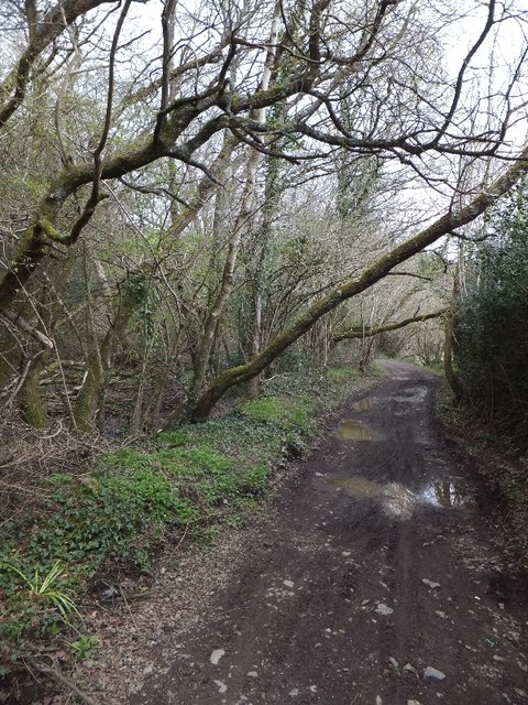
Image: © David Smith Taken: 16 Apr 2012
The track curves to the left and crosses the brook before ascending the eastern side of the valley
Images are licensed for reuse under creativecommons.org/licenses/by-sa/2.0
Image Location
Latitude
50.569767
Longitude
-3.701949