Sillywrea Farm
Introduction
The photograph on this page of Sillywrea Farm by Oliver Dixon as part of the Geograph project.
The Geograph project started in 2005 with the aim of publishing, organising and preserving representative images for every square kilometre of Great Britain, Ireland and the Isle of Man.

There are currently over 7.5m images from over 14,400 individuals and you can help contribute to the project by visiting https://www.geograph.org.uk
Sillywrea Farm
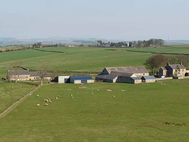
Image: © Oliver Dixon Taken: 27 Mar 2012
And West Sillywrea to the left. Farm high above Tynedale.
Images are licensed for reuse under creativecommons.org/licenses/by-sa/2.0
Image Location
Latitude
54.949662
Longitude
-2.303324