Ochiltree and the valley of the Lugar Water
Introduction
The photograph on this page of Ochiltree and the valley of the Lugar Water by M J Richardson as part of the Geograph project.
The Geograph project started in 2005 with the aim of publishing, organising and preserving representative images for every square kilometre of Great Britain, Ireland and the Isle of Man.

There are currently over 7.5m images from over 14,400 individuals and you can help contribute to the project by visiting https://www.geograph.org.uk
Ochiltree and the valley of the Lugar Water
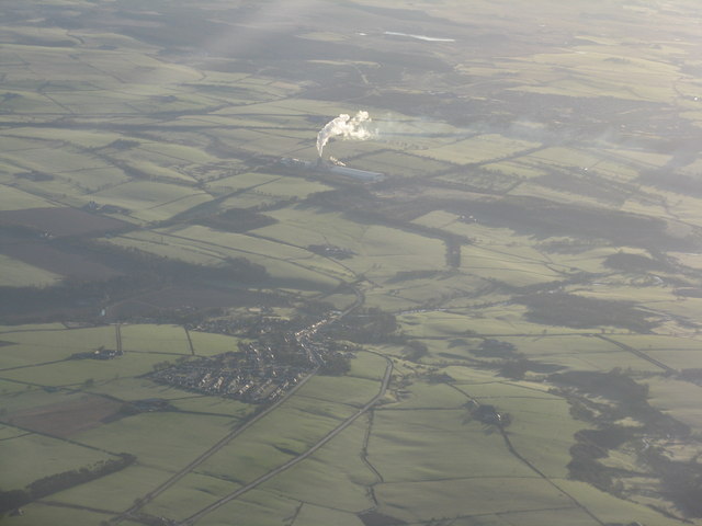
Image: © M J Richardson Taken: 15 Apr 2012
With the fall-out from an active factory on Barony Road in NS5222 drifting downwind.
Images are licensed for reuse under creativecommons.org/licenses/by-sa/2.0
Image Location
Latitude
55.461353
Longitude
-4.362535