Ford Lane in West Hill
Introduction
The photograph on this page of Ford Lane in West Hill by David Smith as part of the Geograph project.
The Geograph project started in 2005 with the aim of publishing, organising and preserving representative images for every square kilometre of Great Britain, Ireland and the Isle of Man.

There are currently over 7.5m images from over 14,400 individuals and you can help contribute to the project by visiting https://www.geograph.org.uk
Ford Lane in West Hill
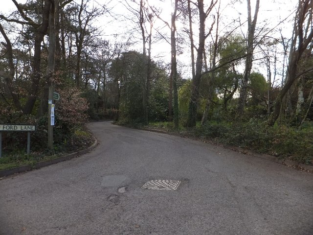
Image: © David Smith Taken: 15 Apr 2012
The lane joins Lower Broad Oak Road close to a bridge over a small stream, which (presumably) was once forded giving rise to the name Ford Lane.
Images are licensed for reuse under creativecommons.org/licenses/by-sa/2.0
Image Location
Latitude
50.73259
Longitude
-3.316882