Whetsted Road, Whetsted
Introduction
The photograph on this page of Whetsted Road, Whetsted by David Howard as part of the Geograph project.
The Geograph project started in 2005 with the aim of publishing, organising and preserving representative images for every square kilometre of Great Britain, Ireland and the Isle of Man.

There are currently over 7.5m images from over 14,400 individuals and you can help contribute to the project by visiting https://www.geograph.org.uk
Whetsted Road, Whetsted
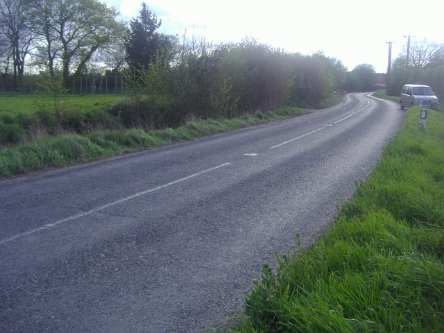
Image: © David Howard Taken: 15 Apr 2012
Whetsted is a small Hamlet near Paddock Wood made up of a small group of farms mainly tucked behind the hedges and the statutory oast house by the village pond.
Images are licensed for reuse under creativecommons.org/licenses/by-sa/2.0
Image Location


Leaflet Map data © OpenStreetMap
Latitude
51.187703
Longitude
0.36855