Lairage Cottages, Swingfield Minnis
Introduction
The photograph on this page of Lairage Cottages, Swingfield Minnis by John Baker as part of the Geograph project.
The Geograph project started in 2005 with the aim of publishing, organising and preserving representative images for every square kilometre of Great Britain, Ireland and the Isle of Man.

There are currently over 7.5m images from over 14,400 individuals and you can help contribute to the project by visiting https://www.geograph.org.uk
Lairage Cottages, Swingfield Minnis
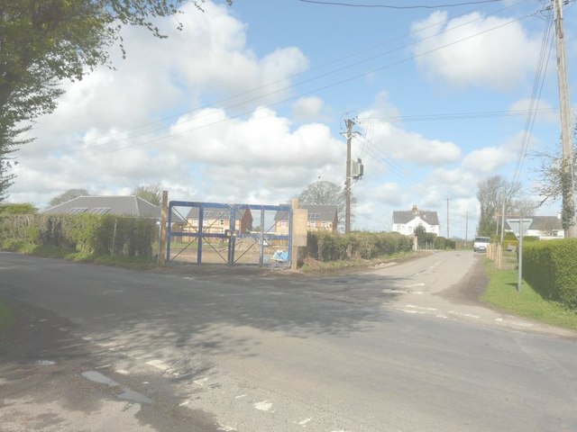
Image: © John Baker Taken: 15 Apr 2012
The vehicular access Image to these houses is half way along the road straight ahead, which provides a link between Canterbury Road (A260) and the road to Lydden and Dover. Six months ago, this development appeared as Image The dictionary meaning of ‘lairage’ is a place where cattle are housed.
Images are licensed for reuse under creativecommons.org/licenses/by-sa/2.0
Image Location
Latitude
51.146406
Longitude
1.166913