Orchard Way, Monks Orchard
Introduction
The photograph on this page of Orchard Way, Monks Orchard by Marathon as part of the Geograph project.
The Geograph project started in 2005 with the aim of publishing, organising and preserving representative images for every square kilometre of Great Britain, Ireland and the Isle of Man.

There are currently over 7.5m images from over 14,400 individuals and you can help contribute to the project by visiting https://www.geograph.org.uk
Orchard Way, Monks Orchard
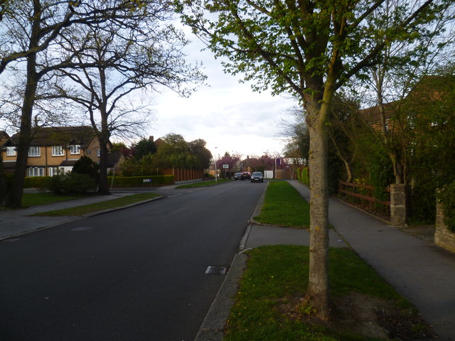
Image: © Marathon Taken: 14 Apr 2012
This view from the corner of Sloane Walk looks across the Borough boundary just ahead from Croydon on this side to Bromley on the other side.
Images are licensed for reuse under creativecommons.org/licenses/by-sa/2.0
Image Location
Latitude
51.388781
Longitude
-0.039491