East Ashey Lane, Isle of Wight
Introduction
The photograph on this page of East Ashey Lane, Isle of Wight by Peter Trimming as part of the Geograph project.
The Geograph project started in 2005 with the aim of publishing, organising and preserving representative images for every square kilometre of Great Britain, Ireland and the Isle of Man.

There are currently over 7.5m images from over 14,400 individuals and you can help contribute to the project by visiting https://www.geograph.org.uk
East Ashey Lane, Isle of Wight
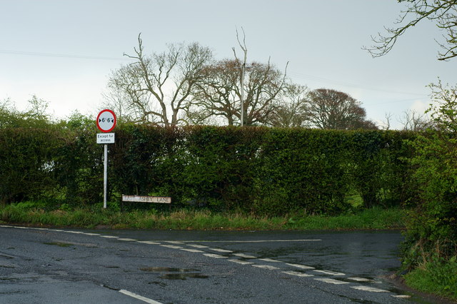
Image: © Peter Trimming Taken: 12 Apr 2012
This lane, leading to Brading, passes East Ashey Manor Farm.
Images are licensed for reuse under creativecommons.org/licenses/by-sa/2.0
Image Location
Latitude
50.692258
Longitude
-1.177685