Sheep and drystone walls near Lytheside Farm
Introduction
The photograph on this page of Sheep and drystone walls near Lytheside Farm by Karl and Ali as part of the Geograph project.
The Geograph project started in 2005 with the aim of publishing, organising and preserving representative images for every square kilometre of Great Britain, Ireland and the Isle of Man.

There are currently over 7.5m images from over 14,400 individuals and you can help contribute to the project by visiting https://www.geograph.org.uk
Sheep and drystone walls near Lytheside Farm
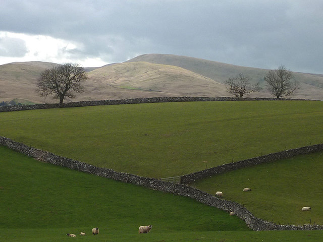
Image: © Karl and Ali Taken: 14 Apr 2012
Looking towards Green Bell in the Howgill Fells.
Images are licensed for reuse under creativecommons.org/licenses/by-sa/2.0
Image Location


Leaflet Map data © OpenStreetMap
Latitude
54.427614
Longitude
-2.400104