Mortehoe Station Road
Introduction
The photograph on this page of Mortehoe Station Road by Peter Kazmierczak as part of the Geograph project.
The Geograph project started in 2005 with the aim of publishing, organising and preserving representative images for every square kilometre of Great Britain, Ireland and the Isle of Man.

There are currently over 7.5m images from over 14,400 individuals and you can help contribute to the project by visiting https://www.geograph.org.uk
Mortehoe Station Road
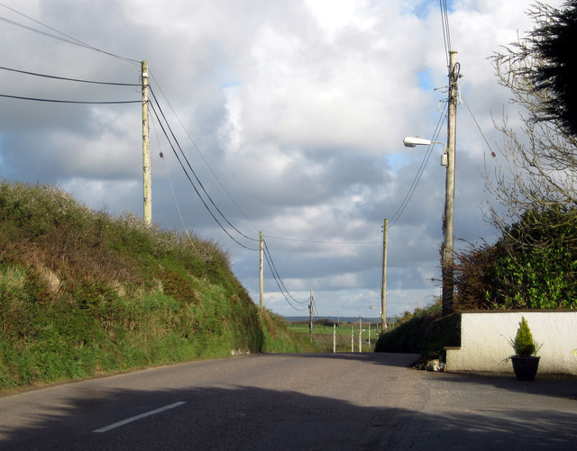
Image: © Peter Kazmierczak Taken: 10 Apr 2012
The Ordnance Survey map shows that we are standing exactly 201 metres above sea level, here on Mortehoe Station Road.
Images are licensed for reuse under creativecommons.org/licenses/by-sa/2.0
Image Location
Latitude
51.176087
Longitude
-4.174275