Upton, Isle of Wight
Introduction
The photograph on this page of Upton, Isle of Wight by Peter Trimming as part of the Geograph project.
The Geograph project started in 2005 with the aim of publishing, organising and preserving representative images for every square kilometre of Great Britain, Ireland and the Isle of Man.

There are currently over 7.5m images from over 14,400 individuals and you can help contribute to the project by visiting https://www.geograph.org.uk
Upton, Isle of Wight
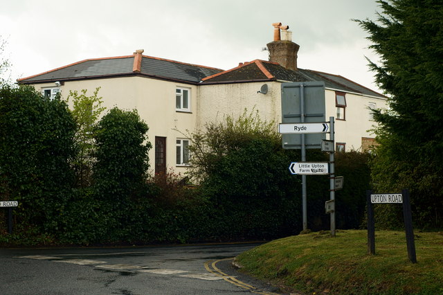
Image: © Peter Trimming Taken: 12 Apr 2012
A small hamlet, just to the south of Ryde. The crossroads now feature a mini roundabout, and most of the houses lie, out of picture, to the left.
Images are licensed for reuse under creativecommons.org/licenses/by-sa/2.0
Image Location
Latitude
50.710253
Longitude
-1.17907