Carloggas Downs
Introduction
The photograph on this page of Carloggas Downs by mike hancock as part of the Geograph project.
The Geograph project started in 2005 with the aim of publishing, organising and preserving representative images for every square kilometre of Great Britain, Ireland and the Isle of Man.

There are currently over 7.5m images from over 14,400 individuals and you can help contribute to the project by visiting https://www.geograph.org.uk
Carloggas Downs
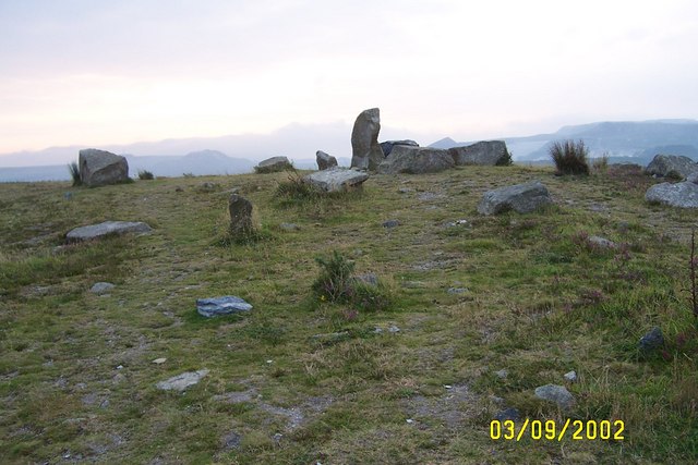
Image: © mike hancock Taken: 3 Sep 2002
This downs had been covered by sand waste from china clay workings but around 2000 the industry in combination with English nature have flattened and it is being 'reclaimed' as a heath.
Images are licensed for reuse under creativecommons.org/licenses/by-sa/2.0
Image Location
Latitude
50.373993
Longitude
-4.79013