The Weir at Otley
Introduction
The photograph on this page of The Weir at Otley by Chris Heaton as part of the Geograph project.
The Geograph project started in 2005 with the aim of publishing, organising and preserving representative images for every square kilometre of Great Britain, Ireland and the Isle of Man.

There are currently over 7.5m images from over 14,400 individuals and you can help contribute to the project by visiting https://www.geograph.org.uk
The Weir at Otley
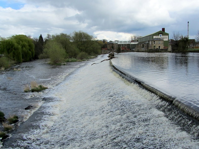
Image: © Chris Heaton Taken: 11 Apr 2012
The river drops down a weir opposite Garnett's mill, downstream of Otley Bridge.
Images are licensed for reuse under creativecommons.org/licenses/by-sa/2.0
Image Location
Latitude
53.910298
Longitude
-1.691708