Ashby Canal, Dadlington
Introduction
The photograph on this page of Ashby Canal, Dadlington by Stephen McKay as part of the Geograph project.
The Geograph project started in 2005 with the aim of publishing, organising and preserving representative images for every square kilometre of Great Britain, Ireland and the Isle of Man.

There are currently over 7.5m images from over 14,400 individuals and you can help contribute to the project by visiting https://www.geograph.org.uk
Ashby Canal, Dadlington
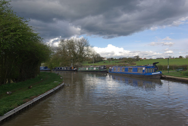
Image: © Stephen McKay Taken: 10 Apr 2012
Between Stoke Golding and Dadlington the canal turns through this 90 degree bend. In this view an ominous cloud threatens overhead.
Images are licensed for reuse under creativecommons.org/licenses/by-sa/2.0
Image Location


Leaflet Map data © OpenStreetMap
Latitude
52.575567
Longitude
-1.411924