Development site, Coleraine (2)
Introduction
The photograph on this page of Development site, Coleraine (2) by Albert Bridge as part of the Geograph project.
The Geograph project started in 2005 with the aim of publishing, organising and preserving representative images for every square kilometre of Great Britain, Ireland and the Isle of Man.

There are currently over 7.5m images from over 14,400 individuals and you can help contribute to the project by visiting https://www.geograph.org.uk
Development site, Coleraine (2)
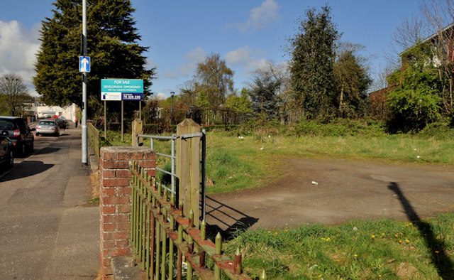
Image: © Albert Bridge Taken: 14 Apr 2012
A vacant site, on the Circular Road, advertised for sale as follows “Outline Planning was granted on the site in October 2000 (ref: C/2000/0640/F). Permission was in respect of "erection of 9 apartments and associated car parking". Indicative drawings indicate 5no one bed apartments and 4 no two bed apartments in a three storey block.” To the best of my knowledge this was previously the site of a lodge for a park keeper. This photograph appears as a matter of record only. I have no connection with any of the parties involved in the sale.
Images are licensed for reuse under creativecommons.org/licenses/by-sa/2.0
Image Location
Latitude
55.133321
Longitude
-6.66809