Road to Hangingcliff Wood
Introduction
The photograph on this page of Road to Hangingcliff Wood by David Smith as part of the Geograph project.
The Geograph project started in 2005 with the aim of publishing, organising and preserving representative images for every square kilometre of Great Britain, Ireland and the Isle of Man.

There are currently over 7.5m images from over 14,400 individuals and you can help contribute to the project by visiting https://www.geograph.org.uk
Road to Hangingcliff Wood
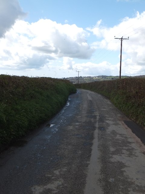
Image: © David Smith Taken: 11 Apr 2012
This minor road provides a convenient link for traffic from the B3362 to Gunnislake. The skyline is of the hills across the Tamar in Cornwall
Images are licensed for reuse under creativecommons.org/licenses/by-sa/2.0
Image Location
Latitude
50.541831
Longitude
-4.19902