Kinloss Aerodrome
Introduction
The photograph on this page of Kinloss Aerodrome by Anne Burgess as part of the Geograph project.
The Geograph project started in 2005 with the aim of publishing, organising and preserving representative images for every square kilometre of Great Britain, Ireland and the Isle of Man.

There are currently over 7.5m images from over 14,400 individuals and you can help contribute to the project by visiting https://www.geograph.org.uk
Kinloss Aerodrome
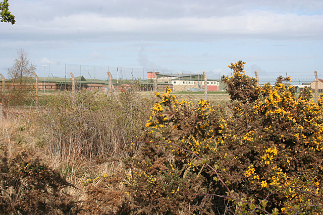
Image: © Anne Burgess Taken: 13 Apr 2012
Most of this square is inside the perimeter of the military airfield at Kinloss, currently occupied (2012) by the RAF, but dus soon to become an Army base. However the B9011 runs through the corner of the square, and a glimpse of the buildings on the base can be seen through the triple defences of two stout fences and a strip of prickly whins. I think the visible buildings are the officers' mess and accommodation.
Images are licensed for reuse under creativecommons.org/licenses/by-sa/2.0
Image Location
Latitude
57.640389
Longitude
-3.572369