Split level drive from Allen's Farm
Introduction
The photograph on this page of Split level drive from Allen's Farm by Robin Webster as part of the Geograph project.
The Geograph project started in 2005 with the aim of publishing, organising and preserving representative images for every square kilometre of Great Britain, Ireland and the Isle of Man.

There are currently over 7.5m images from over 14,400 individuals and you can help contribute to the project by visiting https://www.geograph.org.uk
Split level drive from Allen's Farm
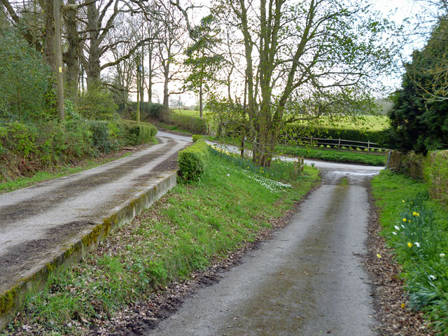
Image: © Robin Webster Taken: 13 Apr 2012
Nearing Meres Lane, the drive splits into two, with the right hand one looking more original. However the unobtrusive public footpath marker stone is set in the far left hedge corner.
Images are licensed for reuse under creativecommons.org/licenses/by-sa/2.0
Image Location
Latitude
50.999364
Longitude
0.236796