Field at Hordle
Introduction
The photograph on this page of Field at Hordle by mike smith as part of the Geograph project.
The Geograph project started in 2005 with the aim of publishing, organising and preserving representative images for every square kilometre of Great Britain, Ireland and the Isle of Man.

There are currently over 7.5m images from over 14,400 individuals and you can help contribute to the project by visiting https://www.geograph.org.uk
Field at Hordle
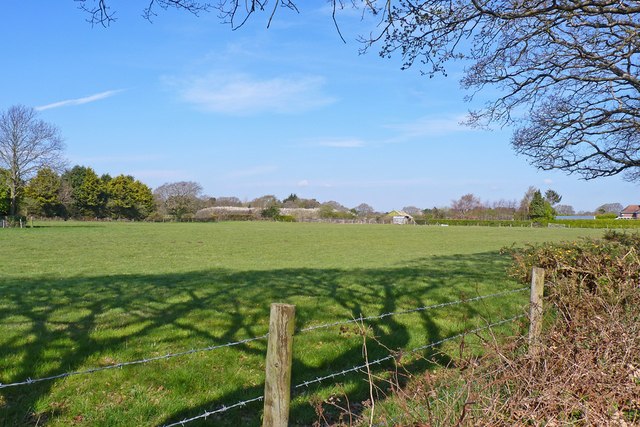
Image: © mike smith Taken: 13 Apr 2012
This would have been part of a farm at one time. Whether it is still part of the nearby Yeatton Farm is unclear.
Images are licensed for reuse under creativecommons.org/licenses/by-sa/2.0
Image Location
Latitude
50.750808
Longitude
-1.612687