Tumbler Road on the corner of Purford Green
Introduction
The photograph on this page of Tumbler Road on the corner of Purford Green by David Howard as part of the Geograph project.
The Geograph project started in 2005 with the aim of publishing, organising and preserving representative images for every square kilometre of Great Britain, Ireland and the Isle of Man.

There are currently over 7.5m images from over 14,400 individuals and you can help contribute to the project by visiting https://www.geograph.org.uk
Tumbler Road on the corner of Purford Green
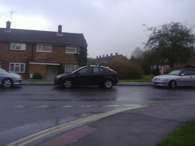
Image: © David Howard Taken: 12 Apr 2012
These are some of the original 1950s standard council housing in Harlow New Town
Images are licensed for reuse under creativecommons.org/licenses/by-sa/2.0
Image Location
Latitude
51.762153
Longitude
0.120979