Gelliwig residential centre, Porthmadog
Introduction
The photograph on this page of Gelliwig residential centre, Porthmadog by Jaggery as part of the Geograph project.
The Geograph project started in 2005 with the aim of publishing, organising and preserving representative images for every square kilometre of Great Britain, Ireland and the Isle of Man.

There are currently over 7.5m images from over 14,400 individuals and you can help contribute to the project by visiting https://www.geograph.org.uk
Gelliwig residential centre, Porthmadog
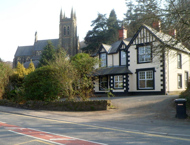
Image: © Jaggery Taken: 23 Mar 2012
The residential centre is on the north side of Penamser Road. Gelliwig accommodates up to 30 people and can be used by youth groups and other voluntary organisations. St John's Church is in the background.
Images are licensed for reuse under creativecommons.org/licenses/by-sa/2.0
Image Location
Latitude
52.927351
Longitude
-4.137693