Ouley Road east of Annaghbane Cross Roads
Introduction
The photograph on this page of Ouley Road east of Annaghbane Cross Roads by Eric Jones as part of the Geograph project.
The Geograph project started in 2005 with the aim of publishing, organising and preserving representative images for every square kilometre of Great Britain, Ireland and the Isle of Man.

There are currently over 7.5m images from over 14,400 individuals and you can help contribute to the project by visiting https://www.geograph.org.uk
Ouley Road east of Annaghbane Cross Roads
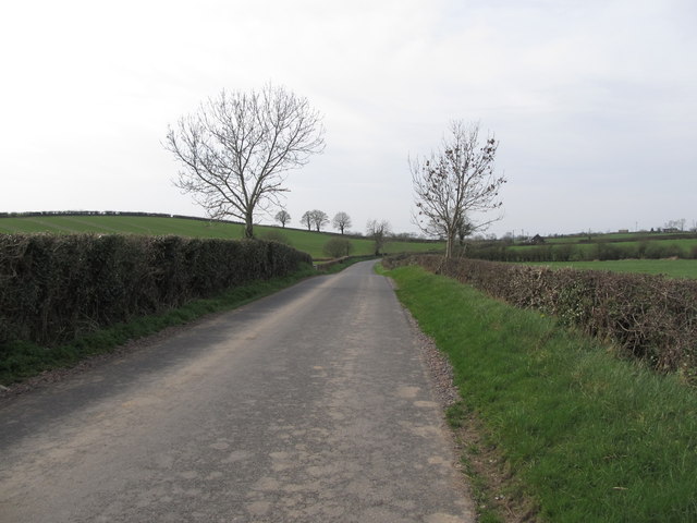
Image: © Eric Jones Taken: 24 Mar 2012
The tin sheet Annabane Gospel Hall can be seen in the distance. Image
Images are licensed for reuse under creativecommons.org/licenses/by-sa/2.0
Image Location
Latitude
54.264702
Longitude
-6.273258