Cornwall - Penwithick/Carclaze
Introduction
The photograph on this page of Cornwall - Penwithick/Carclaze by David Hallam-Jones as part of the Geograph project.
The Geograph project started in 2005 with the aim of publishing, organising and preserving representative images for every square kilometre of Great Britain, Ireland and the Isle of Man.

There are currently over 7.5m images from over 14,400 individuals and you can help contribute to the project by visiting https://www.geograph.org.uk
Cornwall - Penwithick/Carclaze
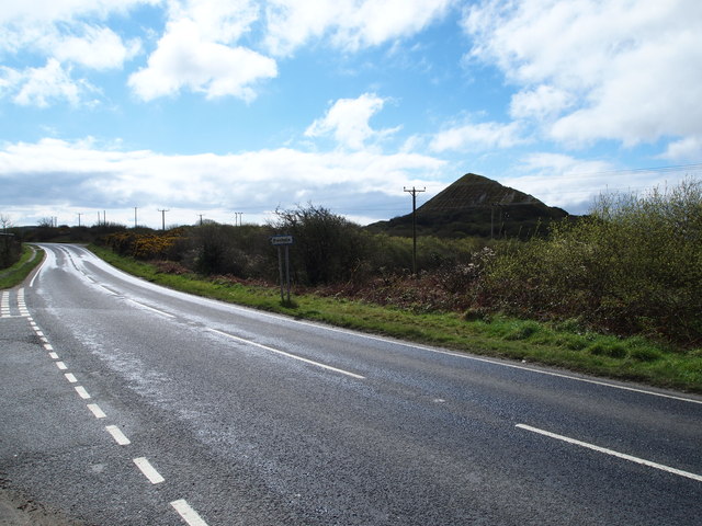
Image: © David Hallam-Jones Taken: 6 Apr 2012
A view of the A391 looking in the Carclaze direction. The picture was taken from the junction of Penhale Road, Penwithick, Cornwall and the view is dominated by a China clay refuse heap on the site of South Carluddon Farm.
Images are licensed for reuse under creativecommons.org/licenses/by-sa/2.0
Image Location
Latitude
50.369347
Longitude
-4.785075