Morden Hall Park
Introduction
The photograph on this page of Morden Hall Park by Marathon as part of the Geograph project.
The Geograph project started in 2005 with the aim of publishing, organising and preserving representative images for every square kilometre of Great Britain, Ireland and the Isle of Man.

There are currently over 7.5m images from over 14,400 individuals and you can help contribute to the project by visiting https://www.geograph.org.uk
Morden Hall Park
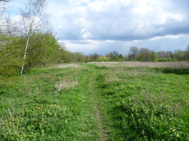
Image: © Marathon Taken: 11 Apr 2012
Morden Hall was built around 1750 (and extended later) and together with the park and estate buildings, including two water mills, is owned by the National Trust. The park consists of meadowland, marshland and woodland, together with some very attractive stretches of the River Wandle and its branches. This view is in the extreme northern corner.
Images are licensed for reuse under creativecommons.org/licenses/by-sa/2.0
Image Location


Leaflet Map data © OpenStreetMap
Latitude
51.407214
Longitude
-0.190254